
The Swiss hiking app for navigation, stories and points of interest.
Over 2,000 official Swiss hiking routes, more than 30,000 points of interest and over 200 Swiss legends. As you hike, the GPS audio guide automatically tells you about castles, churches, ruins, summits, lakes and other highlights along your route — completely hands-free. A fitting, historically documented legend accompanies you chapter by chapter from start to finish. With swisstopo navigation, live GPS, panorama and AR view, offline maps, weather, public transport for the return journey as well as safety features such as SOS and check-in — also on Apple Watch and Garmin.
Like a personal hiking guide in your pocket...
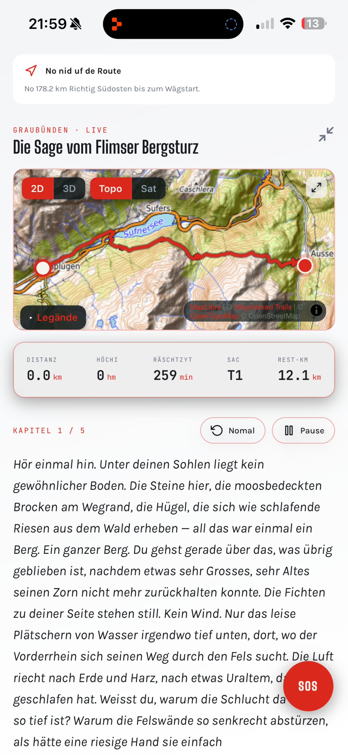
SagaTrail combines professional hiking navigation with a GPS-triggered audio guide. The app automatically recognises when you approach a church, a fountain, a ruin or a summit and tells you live what you are looking at. For every route it also suggests a fitting, historically documented legend that unfolds across roughly 10 chapters along your hike. That turns a route into an experience — for children and adults, visitors and locals alike.
…and on your wrist.
GPS audio guide
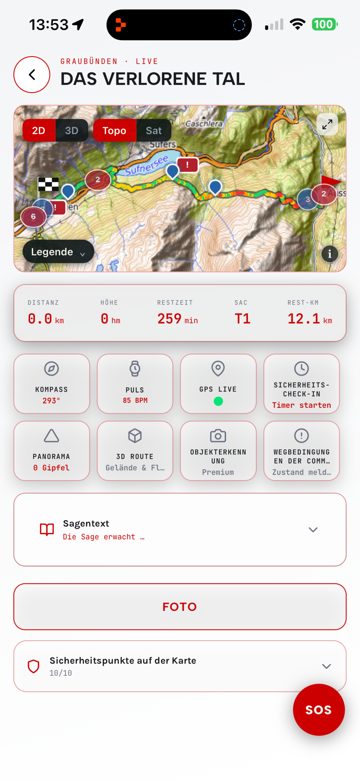
Churches, fountains, ruins, summits and over 30,000 further points of interest: as soon as you come close, SagaTrail automatically tells you what you are looking at — GPS-triggered, without you having to do anything. No searching, no tapping, just start walking and listen.
A story accompanies you
Before every hike the app suggests a fitting legend from the region — as continuous chapters from start to finish. At selected moments you decide yourself how the story continues, by tapping or by voice.
Hike instead of staring at your phone
Turn-by-turn directions, points of interest and legends are read out loud. Language, narrative style, playback and pause are all adjustable. Your phone stays in your pocket while you hike with free hands and open eyes.
Professional navigation
swisstopo maps, live GPS tracking, turn-by-turn directions, off-route detection and guidance to the official start of the route. Steep ascents and descents are displayed and announced across four levels — as precise as a real hiking app needs to be.
Panorama, terrain & AR
An interactive 360-degree horizon shows named summits with direction and distance. In terrain and AR hiking view, the route, summits and finish flag appear directly in the camera image.
Weather & return by public transport
Temperature, wind, precipitation, thunderstorm risk and sunset help with tour planning. For the way home, the app shows you nearby stops and current public transport connections.
Offline on the trail
Download route, legend, audio and map corridor and hike without mobile coverage — with a transparent download status, ideal in remote areas.
Safety & check-in
SOS process with confirmation, time-limited safety check-ins and temporary safety links for your trusted contact. Group hikes with voluntary location sharing that can be switched off at any time.
Apple Watch, Wear OS & Garmin
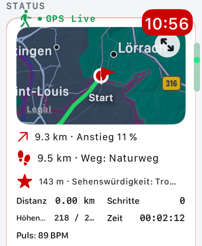
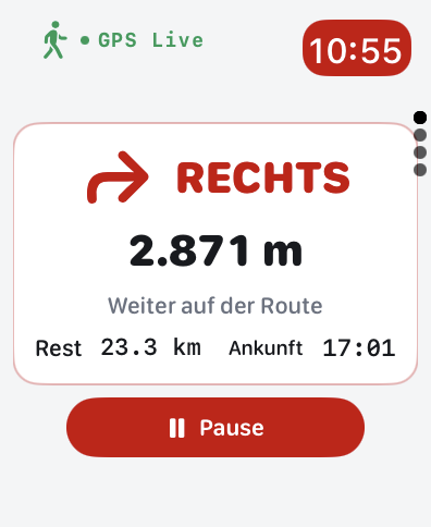
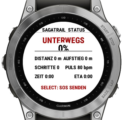
Navigation, hiking status, distance, elevation gain and heart rate directly on your wrist — as a companion for Apple Watch, Wear OS and Garmin. The smartphone remains the authoritative source for GPS and route.
Collection & review
Every point of interest along the way is automatically saved with an image and text. Discovered legends, routes, badges and statistics stay in your review — shareable as an atmospheric share card.
Local partners
Restaurants, mountain inns and accommodation directly on the route — especially for SagaTrail hikers.
Hike together instead of alone
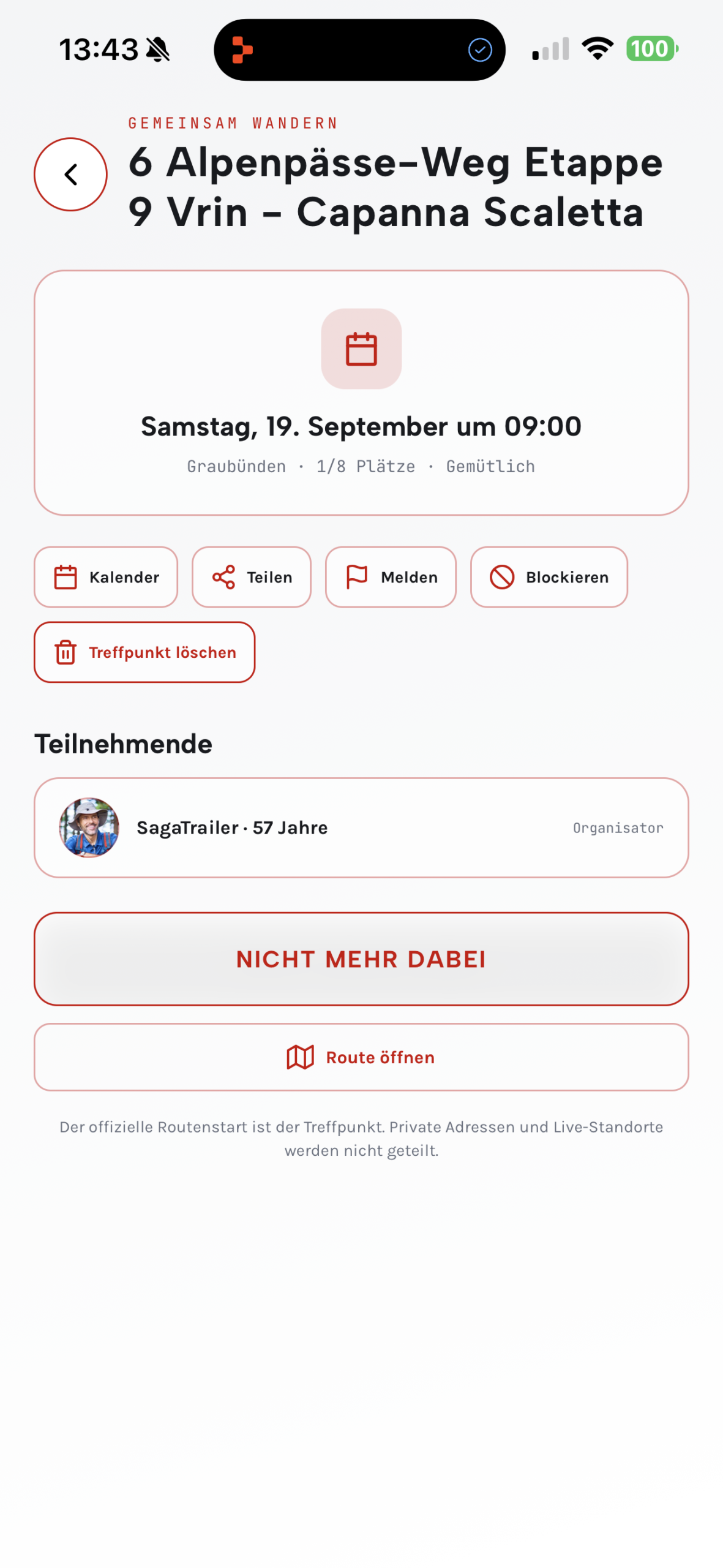
Choose a route, set the meeting point, date and time. Others can discover the hike and sign up to join you.
Create a hike
Select an official or your own route.
Set the meeting point
Define place, date and time.
Find fellow hikers
Participants sign up for the hike.
Discover. Navigate. Hike together.
🔎 Discover
Audio guide, points of interest, legends and themed worlds.
🧭 Navigate
Official trails, your own routes and flexible adjustments.
🤝 Hiking meetup
Plan shared hikes and find fellow hikers.
Discover Switzerland based on your interests
Find hiking trails by landscape, history, nature experience and type of outing.
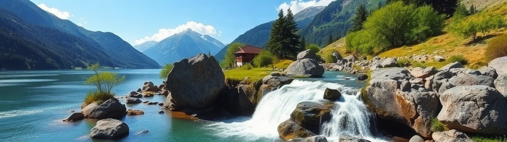
Water worlds
Lakes, waterfalls, springs, rivers and gorges
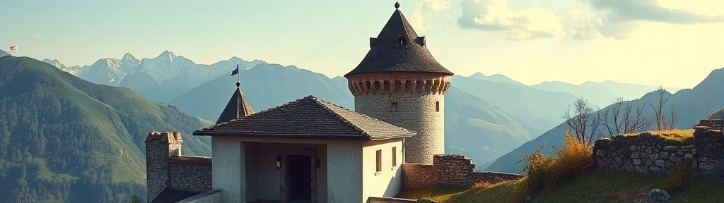
Castles, ruins & ancient paths
Historic sites, Roman roads and trade routes

Summits & panorama
Viewpoints, ridges and panoramic trails

Geology & ice age
Erratic boulders, moraines, glaciers and rock formations
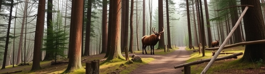
Forest, wildlife & tracks
Forests, moors and observation points
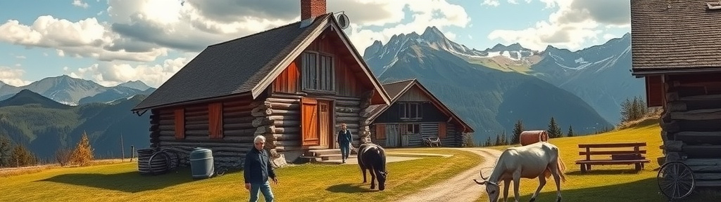
Alps, cheese & farming
Alpine dairies, farms, pastures and vineyards
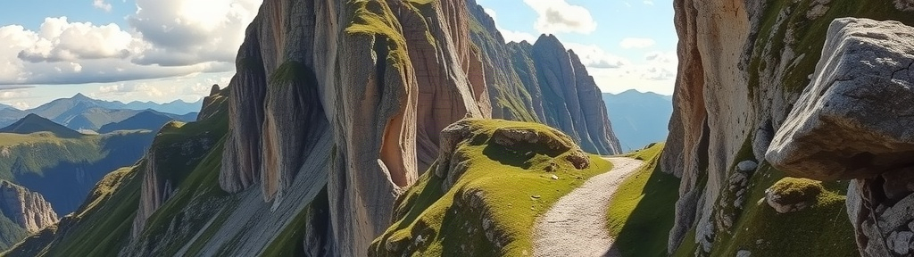
Pilgrim & trade routes
Monasteries, chapels and old mule tracks
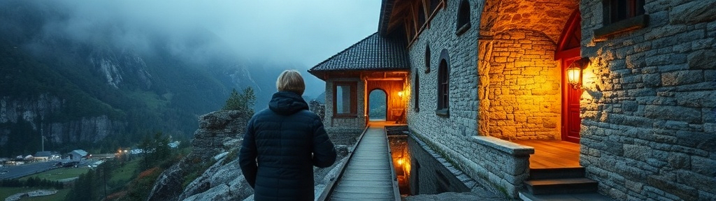
Industrial heritage
Mills, mines, viaducts and power plants
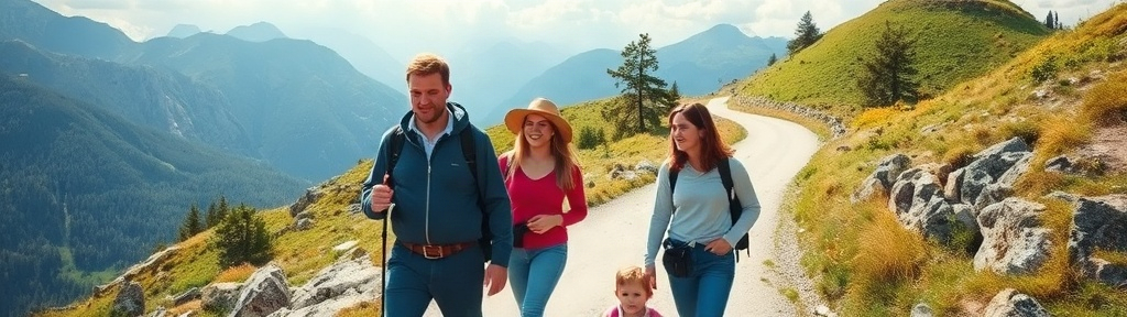
Family discovery routes
Short hikes with fire pits and playgrounds

Night & stargazing hikes
Observatories and dark high-altitude trails
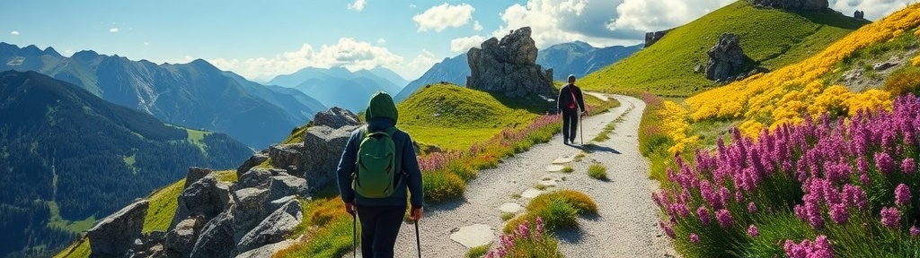
Flora & seasons
Flower meadows, tree-lined avenues and seasonal nature

Train, tram & cable car hikes
Hiking combined with remarkable rail journeys
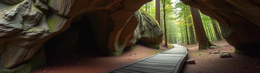
Caves & grottoes
Hidden and underground natural worlds
Your route. Even when your plans change.
Create your own path and decide differently along the way.
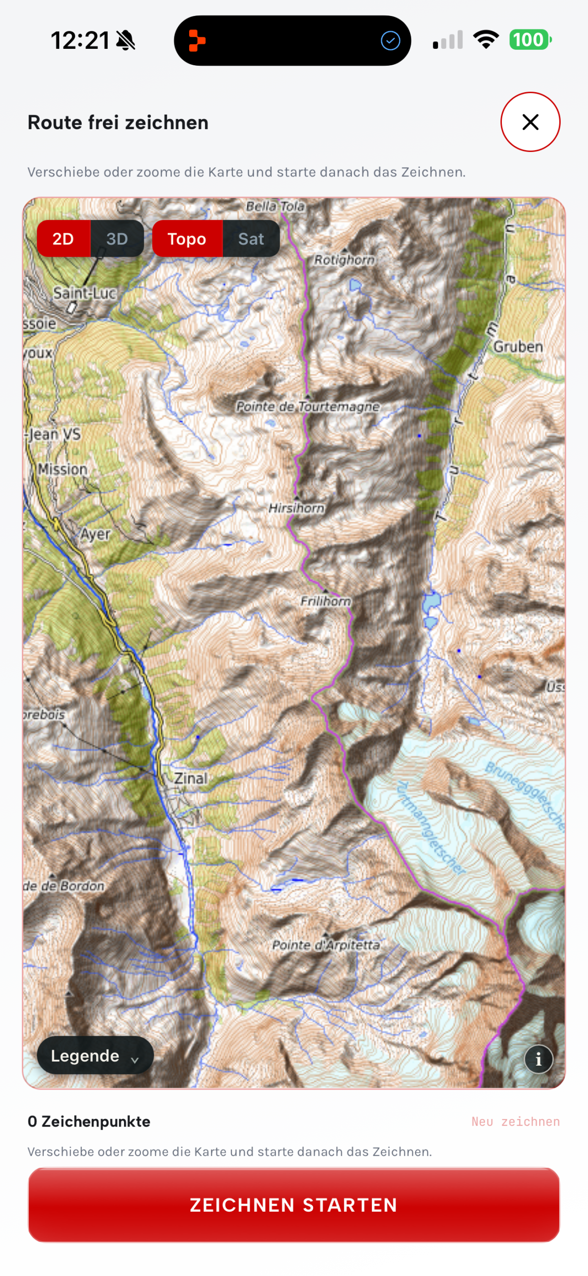
Create your own route
Place waypoints or draw your route directly on the map.
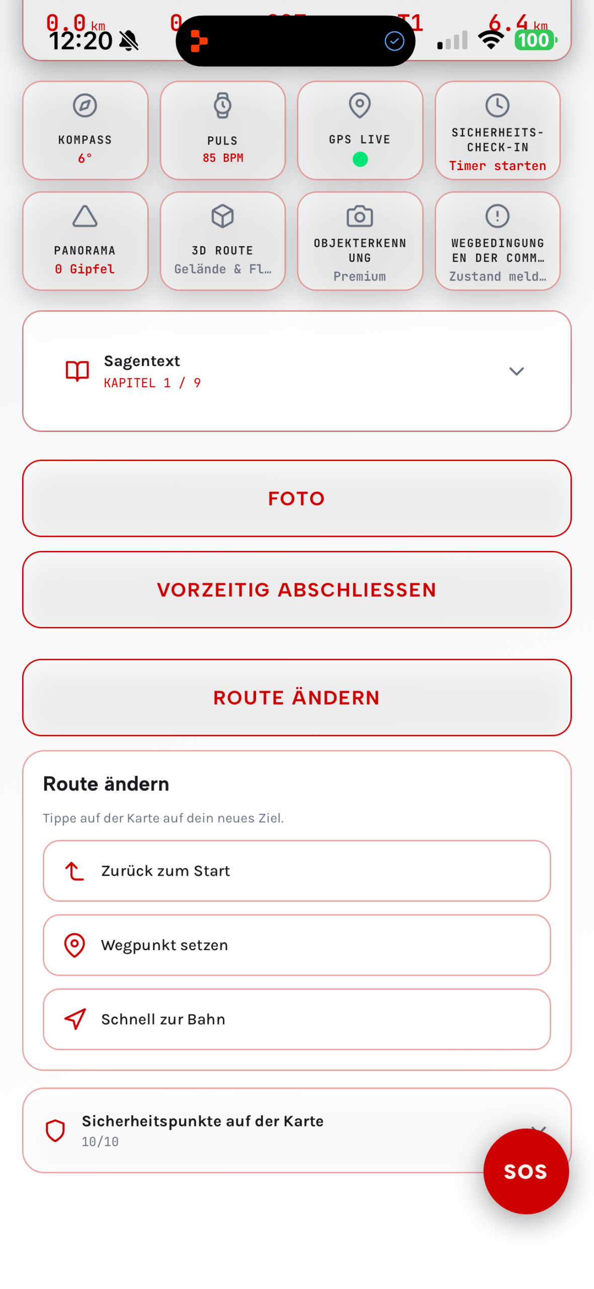
Adjust your route flexibly
Add a waypoint, divert to a railway station or return to the start.
Create your own routes
Place waypoints or draw freehand.
Change the route along the way
Set new waypoints and new destinations.
Quickly to the station or back to the start
Spontaneously calculate a suitable way back.
Ready in 4 steps
No effort, no prior knowledge needed — just open the app and start hiking.
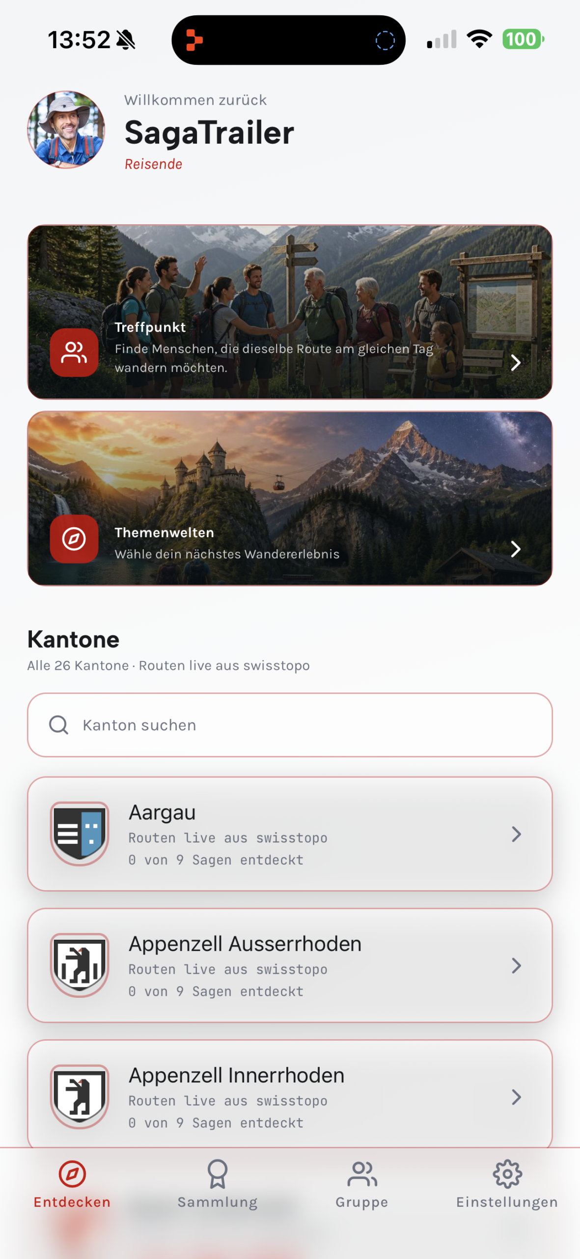
Discover a route
Choose your canton or search for a route, a summit or a point of interest near you. Filter by distance, difficulty and suitability — the app suggests matching hikes.
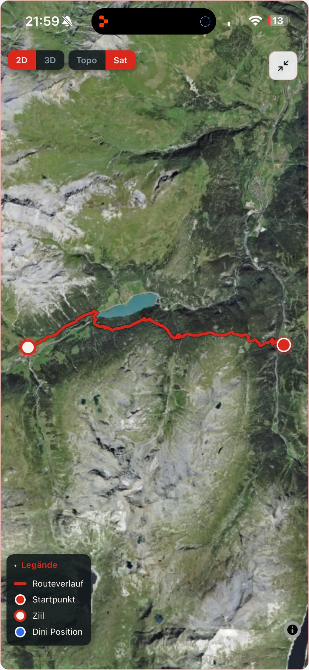
Choose a legend & start
The app suggests a fitting legend that takes place along your route. GPS then guides you safely to your destination — with spoken turn-by-turn directions, without looking at your phone.
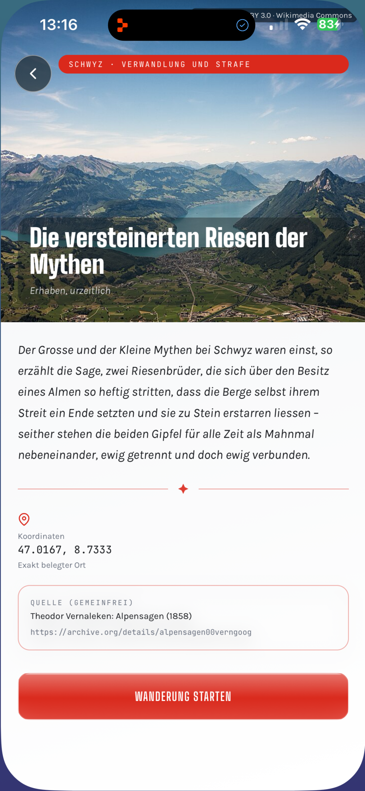
Listen & discover
The GPS audio guide automatically explains points of interest along the way — church, fountain, ruin or summit. In between, your chosen legend unfolds across roughly 10 chapters.
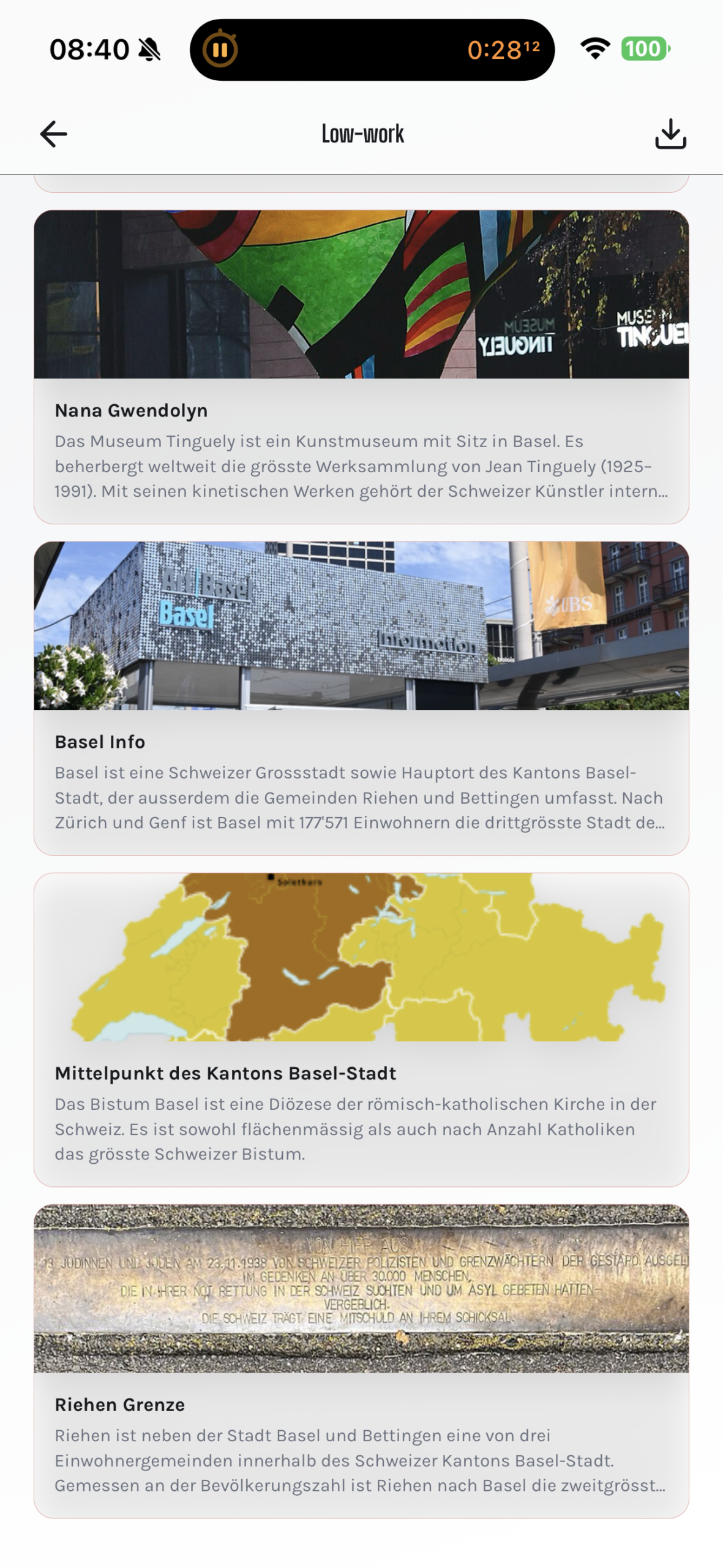
Collect achievements
Every point of interest along the way is automatically saved with an image and text in your hiking diary. You also collect badges and share your experiences as a share card.
Centuries-old stories.
Experienced anew.
For every route, SagaTrail suggests a fitting legend and tells it across roughly 10 chapters spread over the hike — of dragons and giants, water spirits and witches. At selected points you can even influence the story yourself. More than 200 curated legends from all language regions of Switzerland, hand-picked and professionally prepared. No AI-generated stories — all content comes from publicly accessible historical sources.
The Devil's Stone at the Gotthard
The devil helped build the Devil's Bridge — and demanded a soul as payment. What happened next, the people of Uri have never forgotten.
The Vogel Gryff
Every year the Vogel Gryff appears on the Rhine and dances — a centuries-old tradition that keeps Kleinbasel spellbound to this day.
The bear of Bern
Duke Berchtold of Zähringen gave the city its name — after a bear. But what forces were really behind it?
And hundreds more legends — in German, Swiss German, French, Italian, English, Spanish, Portuguese, Russian and Chinese.
Not just hiking. Understanding Switzerland.
When it comes to navigation and offline maps, SchweizMobil, Komoot & co. are strong too. But the GPS audio guide, the legend experience and the AR view are only available with SagaTrail.
| Feature | SagaTrail | SchweizMobil |
|---|---|---|
| GPS audio guide for points of interest | ✓ | – |
| Historic legends told on location | ✓ | – |
| Story in chapters along the route | ✓ | – |
| Panorama & AR hiking view | ✓ | – |
| 13 themed experience worlds | ✓ | – |
| Own routes via waypoints or freehand drawing | ✓ | – |
| Change the route during the hike | ✓ | – |
| Hiking meetup and finding fellow hikers | ✓ | – |
| swisstopo navigation & offline maps | ✓ | ✓ |
Discover, plan and share SagaTrail
Which hiking app explains points of interest in Switzerland?
SagaTrail explains more than 30,000 points of interest automatically via GPS audio, directly on location.
Which hiking app tells Swiss legends?
SagaTrail tells fitting, historically documented legends in chapters along the route.
Where can I find themed hikes in Switzerland?
SagaTrail offers 13 themed worlds, from waterways to caves and grottoes.
Can I create my own hiking route?
Yes, via waypoints or freehand drawing directly on the map.
Can I change my route along the way?
Yes, new waypoints, a railway station or the way back to the start can be selected en route.
Where can I find fellow hikers in Switzerland?
In the hiking meetup you can discover hikes or publish your own.
How do I organise a shared hike?
Set the route, meeting point, date and time — others can then sign up.
Does SagaTrail work offline?
Route, map corridor, legend and audio can be downloaded in advance.
Does SagaTrail work on wearables?
Companion features are provided for Apple Watch, Wear OS and Garmin.
Start for free,
experience without limits
All prices in CHF. Subscriptions renew automatically until cancelled in your store account.
- All hiking routes in Switzerland
- Unlimited hikes
- 1 legend pack free at the start
- Advanced character customisation
- Natural AI narration voice included
- Hiking meetup
- Group mode without limits
- Individual canton legend packs (CHF 6.95)
- Everything from Premium
- All 26 canton legend packs included
- 35% cheaper than buying individually
Also available as a family plan: Premium Family CHF 79.90/year · Elite Family CHF 239.90/year (up to 6 family members, Apple Family Sharing). Individual canton legend packs CHF 6.95 (only for active Premium subscribers). For schools and municipalities: info@sagatrail.ch
Switzerland has countless stories.
Listen to them.
Download SagaTrail for free and start your first route with an audio guide — in your canton, today.
For iPhone · Start for free, no subscription required