- Route: 25 Senda Segantini Etappe 4 St. Moritz – Muottas Muragl
- Region: Blausee-Engadin (Canton Graubünden)
- Theme: Lake Hikes
- Distance: 16 km
- Duration: 5.5 h
- Ascent: 1200 m
- Difficulty (SAC scale): T1
- Terrain: Wanderland-Route 25 · regional network · SAC T1
- Attractions along the route: Crast’Ota, Munt da la Bês-cha
- Legend: The Lost Valley
The scenic alpine lake circuit on the 25 Senda Segantini Stage 4 St. Moritz – Muottas Muragl covers a distance of 16 km, offers an SAC T1 terrain rating, and takes approximately 5.5 h of hiking time while weaving through the enchanting landscapes of Canton of Graubünden and touching upon the myth of The Lost Valley.
Journey Across High Alpine Trails
Your adventure begins in the bustling and world-renowned alpine resort of St. Moritz, easily accessible by train via the famous Rhaetian Railway network or by car through well-maintained mountain passes. From the starting point, the route immediately immerses you in the breathtaking beauty of the Upper Engadin valley, guiding you along well-marked paths belonging to Wanderland Route 25. As you set off, the trail gradually climbs, demanding steady endurance over a distance of 16 km while rewarding your efforts with sweeping panoramas of shimmering alpine lakes and rugged peaks. The terrain is rated as SAC T1, meaning it is classified as easy hiking terrain without exposed or particularly dangerous sections, though the total ascent of 1200 meters requires a good basic level of physical fitness and sure-footedness for the 5.5 h duration.
As you progress along the regional network, you will encounter remarkable natural and historical landmarks. A prime touristenattraktion along the way is Crast’Ota, a fantastic viewpoint that offers sweeping vistas over the surrounding valleys and glittering waters below. Further along the route, another major Sehenswürdigkeit awaits at Munt da la Bês-cha, a prominent natural peak that provides a magnificent vantage point for pausing to take in the vastness of the Grisons mountains. While the distance and elevation gain make this trek quite demanding for very young children, older kids with hiking experience will thoroughly enjoy the changing scenery and the sense of high-alpine discovery.
The Legend of The Lost Valley
Every step through the magnificent landscapes around Blausee-Engadin and the surrounding peaks resonates with ancient folklore, most notably the haunting tale known as The Lost Valley. According to local legend, centuries ago a lush, hidden basin nestled high in these mountains brimmed with vibrant green pastures and crystal-clear springs, a veritable paradise for local shepherds. However, the inhabitants of this idyllic enclave grew greedy and arrogant, refusing hospitality to a weary traveler who sought shelter during a sudden autumn storm. As punishment for their cruelty, a tremendous cataclysm struck the valley overnight, causing the massive rock walls to collapse and burying the fertile meadows beneath an endless sea of jagged boulders and perpetual ice. Today, hikers traversing the upper trails whisper that on quiet, misty evenings, one can still hear faint church bells chiming from deep beneath the stony rubble, a timeless reminder of the paradise that vanished into legend.
Experience this hike with a GPS audio guide and the matching legend right in the app: Legends & Stories, Navigation & Offline Maps.
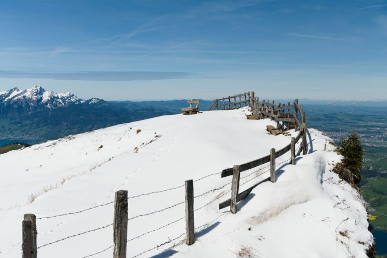
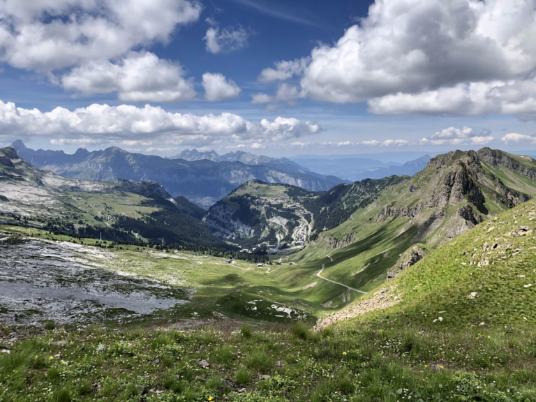
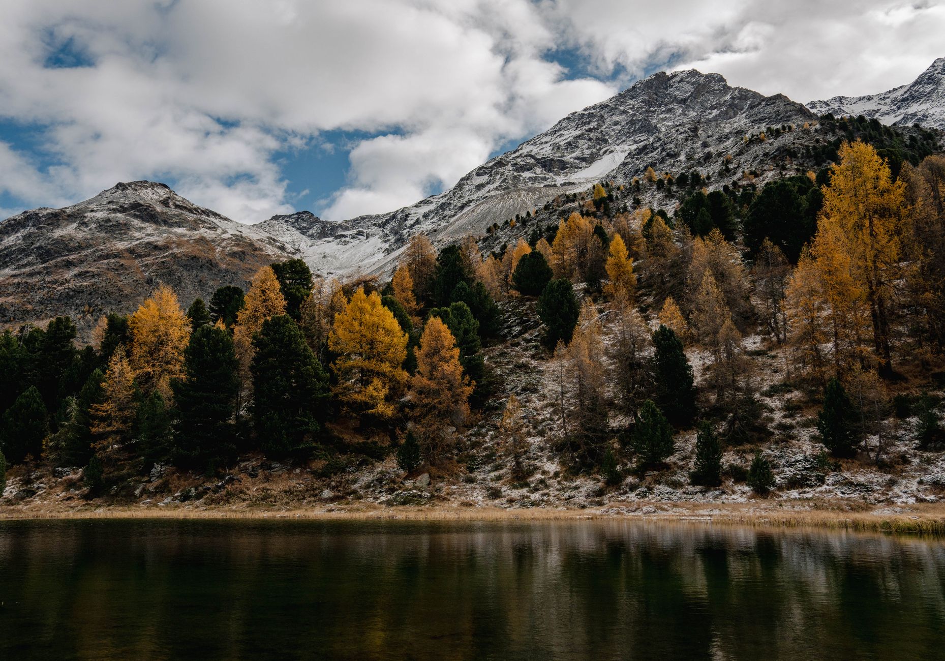
Photo: Oskar Gross / Pexels
Frequently Asked Questions
How long does the tour take?
The tour takes approximately 5.5 hours over a distance of 16 km with an SAC T1 terrain rating.
Is the tour suitable for children?
No – due to the significant length of 16 km and the demanding ascent of 1200 meters, this hike is generally too strenuous for small children and is better suited for experienced older youth.
How do I get to the starting point?
You can reach St. Moritz easily by car via major alpine passes or conveniently by train using the regional public transport and railway network.
What legend is associated with the route?
On this route, you will encounter the fascinating regional legend known as The Lost Valley.